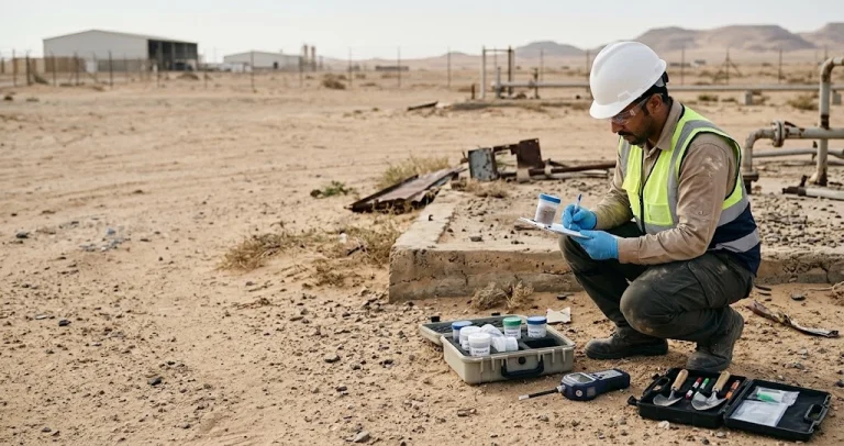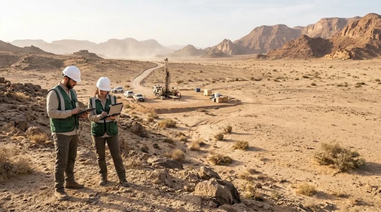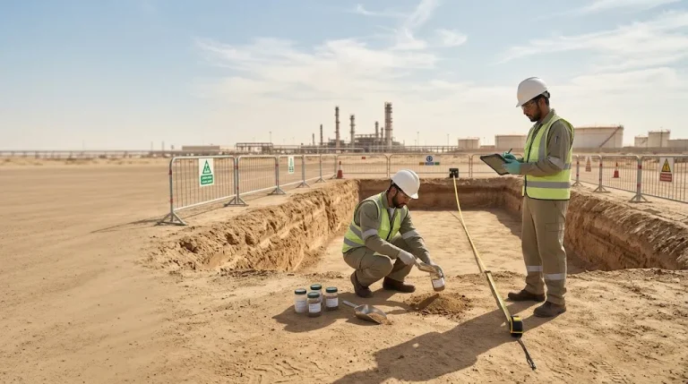
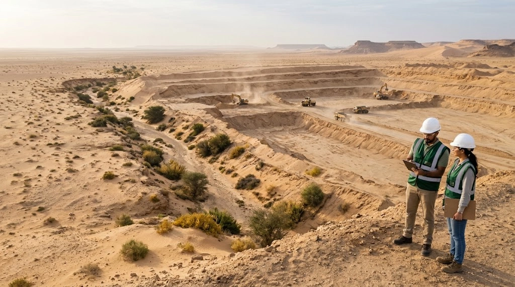

This is why the study begins with a clear question: What must be evaluated before approving the removal design, final land levels, and transportation plan?
The Albuad Environmental Company proposes an integrated methodology to scope the studies required for sand quarrying and large-scale earthmoving projects, linking site conditions, operational plans, sensitive receptors, and the final land use.
Preparation and submission responsibilities are determined according to the project classification and the applicable license scope for each participating entity. When the works require a Category A service provider, they must be assigned to an entity holding the appropriate license within a clear contractual arrangement.
What is the Environmental Impact Assessment Scoping Report?
The Scoping Report is the document that defines the core environmental issues to be addressed by the detailed study, the assessment boundaries, alternatives, required data, measurement and modeling methodologies.
Its function includes determining:
- Project boundaries, its facilities, transportation routes, and associated sites.
- Potential impact zones and sensitive receptors.
- Field studies, measurement programs, and sampling.
- Proposed models, their inputs, and scenarios to be tested.
- Criteria for assessing the significance of impacts and risks.
- Outputs of the detailed study, management, monitoring, and rehabilitation plans.
The scoping report defines how the study will be conducted; while the detailed study provides the results, assessment, and recommendations. It illustrates Category III Construction Permit Service The National Center for Environmental Compliance requires submitting the study after approving the scoping report.
You can view the service Environmental impact assessment and environmental audit studies to understand the relationship between scoping, the detailed study, and management and monitoring plans.
Why do major relocation projects need an interconnected study scope?
In a hypothetical example of removing 100 million tons of sand, with an average actual load of 20 tons For loaded trips, the calculated number reaches five million loaded trips.
However, this number alone does not describe the impact; the assessment requires knowing the execution duration, daily volume, operating hours, transport distances, number of simultaneous trucks, empty return traffic, and reception locations.
If each loaded truck passes and then returns empty via the same segment, that segment may record about ten million truck passes during the project, according to the example's assumptions.
The calculation in this example is 100,000,000 tons ÷ 20 tons per trip = 5,000,000 loaded trips. If each returns empty via the same segment, the total becomes 10,000,000 passes in both directions, while daily and hourly distribution remains a key factor in the assessment.
Similarly, the removal volume in cubic meters is not derived from mass alone; rather, it requires documented bulk density and distinguishing the volumes of materials in their natural state from their volumes after excavation and loosening.
These calculation details determine the reliability of air, noise, and traffic modeling and cost estimation.
Air Quality and Dust Dispersion Modeling
The air assessment methodology begins by inventorying emission sources: excavation, loading, unloading, unpaved roads, storage piles, exposed surfaces subject to wind erosion, and equipment exhausts.
Key inputs include:
- Handling rates by hour, day, and execution phases.
- Material moisture, fine content percentage, and road characteristics.
- Equipment and truck counts, weights, and speeds.
- Wind and temperature data and atmospheric characteristics required for the model.
- Topography, receptor locations, and environmental background concentrations.
And provide AP-42 References Issued by the US Environmental Protection Agency, methods for estimating emissions from material handling, unpaved roads, and wind erosion, with the necessity of selecting appropriate equations and documenting the validity of their site inputs.
Emission rates are used in a dispersion model appropriate to the nature of the sources and the site to estimate PM10 and PM2.5 concentrations, test routine operations, peak phases, unfavorable weather conditions, and control procedures.
Required output: Concentration maps, identification of the most affected receptors, scenario comparison, and a practical action plan for dust control, monitoring, and response.
Noise modeling for equipment and trucks
Knowing the total number of trips is not enough to estimate noise; the impact depends on temporal traffic distribution, vehicle speeds, road gradients, night-time operation, equipment locations, topography, and barriers.
The scope of the study defines a methodology to assess:
- Noise from stationary and mobile equipment within the site.
- Truck movement on external routes.
- Interference between sources during peak operation.
- Impact at residences, schools, healthcare facilities, and other relevant receptors.
- The effectiveness of changing routes, times, equipment locations, or barriers.
Required output: Noise maps, receptor assessment, actionable mitigation measures, and identification of the need for verification measurements during operation.
Assessment of risks from topography changes on neighboring facilities and outfalls
Lowering ground levels may create a depression that receives water, alter flow directions, or increase erosion near an existing facility.
When a nearby treatment plant or water outfall exists, the nature of the facility, the coordinates and level of the outfall, its discharges, and its connection to the drainage network and site must first be verified.
Spatial proximity, even within ten kilometers, does not prove the existence of a hydrological impact pathway. The study scope is determined according to watersheds, watercourses, and actual connectivity, testing:
- Runoff reaching excavation areas.
- Backwater effects or submergence of outlets when levels rise.
- Sediment transport to drains and facilities.
- Effects of culvert blockages or drainage failure.
- Risk changes with surrounding urban development.
Development scenarios over 20-30 years are studied when appropriate plans and data are available, clarifying assumptions and certainty limits.
Runoff, Erosion, and Pollutant Transport Modeling
Land surface alteration can affect runoff volume, velocity, and sediment-carrying capacity. Therefore, the scope of the study includes characterizing watersheds, soil, permeability, slopes, existing channels, and surfaces that will be exposed during construction.
A distinction must be made between sediment transport and pollutant transport; the presence of drifting sand does not automatically imply chemical contamination. The need for pollutant assessment is determined based on potential sources, such as fuel and maintenance areas or previously affected soil.
Solutions such as diversion channels, sediment detention basins, slope stabilization, outlet protection, and phased implementation are tested.
Required output: Identifying transport pathways, deposition or scouring areas, and linking them to site-specific protection measures and preliminary dimensions.
Hydrological and hydraulic study for different return periods
Water behavior is compared under three main scenarios: before clearing, during critical construction phases, and after reaching final elevations.
The scope may include testing events with return periods of 10, 20, 50, and 100 years, depending on the nature of the project and the requirements of the competent authorities.
| Return Period | Approximate Annual Exceedance Probability |
|---|---|
| 10 years | 10% |
| 20 years | 5% |
| 50 years | 2% |
| 100 years | 1% |
A 100-year event may occur in any given year, and similar events may recur within close intervals; it is a statistical probability description.
Explains US Geological Survey (USGS) The 100-year flood event represents an annual exceedance probability of 1%, rather than a fixed schedule for flood recurrence.
Proposed tools may include HEC-HMS for rainfall and runoff analysis, andHEC-RAS for hydraulic analysis and inundation mapping, if site conditions and study requirements are met.
Required output: Water depth and velocity maps, inundation areas, discharge comparison, protection and drainage requirements, and sensitivity and uncertainty tests.
The assessment includes the final state of the land and its planned use, whether ownership continues or transfers to a new owner; change of ownership does not alter the physical characteristics of the site.
When excavations require water control, the assessment can be linked to the preparation of Dewatering and Water Drainage Plan for Construction Sites According to water sources, their quality, discharge point, and appropriate requirements.
Ecological survey of wildlife and habitats
The survey scope defines existing habitats, potential species, appropriate monitoring seasons, and breeding, feeding, or transit locations.
The assessment examines the impacts of:
- Habitat loss and fragmentation.
- Movement of equipment and trucks.
- Noise, lighting, and dust.
- Open excavations and potential entrapment of organisms.
- Cumulative impacts with surrounding activities.
Mitigation is based on avoiding the impact first, then minimizing it, rehabilitating, and assessing compensation when needed. Any relocation of organisms or habitat intervention is subject to relevant requirements and approvals.
Vegetation study, sand stabilization, and rehabilitation
The removal of vegetation and topsoil requires an assessment that includes plant community composition, native species, seed bank, and the role of plants in soil stabilization.
The survey examines the potential impact on adjacent areas due to changes in sand movement, dust deposition, or loss of seed sources.
The assessment is not limited to airborne seeds; it accounts for the actual dispersal methods of existing species, soil and wind characteristics, grazing, and previous pressures.
Required output: A plan for protecting priority areas, preserving topsoil where appropriate, progressive rehabilitation, selection of native species, and indicators to measure restoration success.
Traffic study linked to the production plan
The traffic study links daily removal quantities, truck loads, operating hours, road capacity, and reception sites.
And it addresses:
- Current and expected traffic during peak hours.
- Site entrances, exits, and sight distances.
- Intersections, U-turn points, and parking.
- Pedestrian and residential area safety.
- Probabilities of queues during loading and unloading.
- The need to assess the capacity of roads and facilities by specialists.
Traffic assumptions must be unified between the traffic study and the air and noise models, so that all results are based on a single operational plan.
Study of sand destinations and reuse
Sand management begins by identifying material characteristics, their intended destination, and usability, then determining the appropriate regulatory path for each option.
Sites and alternatives are compared according to:
- Suitability of materials for the proposed use.
- Status of the receiving site and necessary permits.
- Capacity and daily reception rate.
- Transport distance and its traffic and environmental impacts.
- Risks of dust, floods, and storage.
- Cost of handling, transport, and monitoring.
Required output: A traceable materials budget that links extracted quantities with transported, received, stored, and reused quantities, while addressing any discrepancies.
Environmental baseline program and data quality assurance
The study scope proposes measurement locations, durations, frequencies, and data acceptance criteria, according to site sensitivity as well as temporal and seasonal variability.
Based on an initial hypothetical project concept, the following program can be discussed as a starting point for measurement design rather than as an approved program for all sites:
| The component | The proposed preliminary program | What needs to be verified |
|---|---|---|
| Noise: | 24-hour measurement at selected locations | Representation of day, night, and active days |
| Air Quality: | Three days on-site and one day at a sensitive receiver | Sufficiency of duration, number of stations, and spatial representation |
| Soil | Samples distributed by units and suspicion | Depths, analyses, and actual homogeneity |
| Groundwater | Measurement of water levels and quality where necessary | Existence of sufficient monitoring points and hydraulic connection |
This is a preliminary, modifiable program and does not represent a general regulatory limit or a guarantee of data sufficiency. Furthermore, short-term air measurements do not automatically replace the meteorological data required for modeling.
Quality control includes instrument calibration, documentation of field conditions, chain of custody for samples, analytical methods, and review of data completeness.
Maps of receptors and sensitive areas using GIS
A spatial database is created that compiles project boundaries, excavation phases, roads, watercourses, facilities, and relevant receptors.
Attached to each receptor is a description of its use, coordinates, data source, verification date, and its relevance to impact pathways.
Then, this baseline is linked with the results of air, noise, torrents, and biodiversity to clarify the affected location, the nature of the impact, and the required protection procedure, while verifying the applicable regulatory definitions.
Feasibility of Greenhouses After Removal
Greenhouses can be studied as a potential alternative for the final land use, within an independent or complementary package depending on the project purpose.
The study includes:
- Suitability of final elevation and flood risks.
- Soil quality or the need for soilless agriculture.
- Water source, quality, and supply sustainability.
- Energy, cooling, and operational requirements.
- Crops, markets, and supply chains.
- Investment, operational costs, and cash flows.
- Yield sensitivity to changes in prices, production, water, and energy.
Agricultural investment evaluation is separated from the revenue of sand sales, to demonstrate the economic viability of the agricultural activity after removal is complete.
Schedule, Plans, Quantities, and Workshop
The studies schedule is linked to the design and implementation schedule, while identifying the data that must be available before each decision.
Proposed outputs include:
- Scoping report preparation and review schedule.
- Plan for surveys, measurements, and modeling.
- Phased and final elevation plans based on appropriate topographical surveying.
- Bill of quantities explaining the calculation method and density assumptions.
- Management, monitoring, rehabilitation plan, and implementation responsibilities.
- Opening workshop to establish data and assumptions.
- Technical review workshop to discuss results, alternatives, and procedures.
The technical proposal defines the boundaries of environmental drawings and conceptual designs, as well as the works that require detailed engineering design and approval from the relevant authorities and specialists.
The proposed Albuad Environmental Company methodology from site data to actionable decisions
The methodology is based on using a unified foundation for all disciplines: the same quantities, the same phases, the same elevations, and the same truck movement.
Increasing daily production may raise dust, noise, and traffic pressure. Modifying the final elevation may alter flood paths and agricultural usability. Choosing a distant reception site may affect costs, emissions, and operating hours.
Therefore, alternatives are reviewed together, while documenting data sources, assumptions, model boundaries, and residual impacts after mitigation.
The value of consultation appears in transforming results into clear decisions: Where does excavation start? What is the appropriate operating rate? Which routes have the least impact? What areas require protection? And what are the conditions for safe land use after the project ends?
Frequently Asked Questions about Environmental Studies for Sand Quarrying Projects
Do all sand quarrying projects require the same study?
The scope varies according to activity classification, location, quantities, excavation depth, sensitive receptors, potential impacts, and the requirements of the competent authority.
Is Category A Scoping Report the most accurate term?
It is more accurate to clarify the type of document and the service provider classification separately: Environmental Impact Assessment scoping report, prepared and submitted by a service provider licensed in the appropriate category for the project.
Are five million trips sufficient to assess truck impact?
It is necessary to determine the distribution of trips across days, hours, and routes, truck loads, return movement, peak times, and night operations.
Does a 100-year flood study guarantee site safety for a century?
The return period expresses an annual statistical probability, and the assessment remains tied to the quality of data, assumptions, changes in the watershed, design, and maintenance.
What information is required to start defining the study scope?
Site boundaries and coordinates, topographical survey, proposed elevations, quantity estimates, implementation duration, equipment and truck plan, sand destinations, final use, and any comments issued by the competent authorities.
Start by reviewing the project scope with the Albuad Environmental Company
Before fixing excavation quantities or contracting for transportation, determine the project impact on land, water, roads, and surrounding areas.
Contact Albuad Environmental Company to review sand mining and level reduction project data, determine the required package of studies and scope of responsibilities, and arrange the execution of works according to the appropriate specialization and license.
Send the project location, estimated quantities, target levels, execution duration, and any available official requirements to initiate technical discussion on a clear and reviewable basis.
Contact Albuad Environmental Company to discuss the scope of the study
Contact via WhatsApp at +966 53 573 3690
Official and Technical References
- National Center for Environmental Compliance (NCEC) Category III Construction Permit Service
- US Environmental Protection Agency (EPA) AP-42 References for Dust Sources
- US Geological Survey (USGS) 100-Year Flood Interpretation
- US Army Corps of Engineers Hydrologic Engineering Center (HEC-HMS)
- US Army Corps of Engineers Hydrologic Engineering Center (HEC-RAS)
The content was reviewed by a team of environmental experts.
Environmental content at Albuad Environmental Company is prepared and reviewed by a team of specialists in environmental studies, environmental impact assessment, environmental compliance, and environmental monitoring.
Meet the expert team